Lovina and Pulau Menjangan
With the ride to Lovina going quickly, my accomodations setup and a dive trip planned, I explored the town a bit.
I was actually quite turned off by the town. Though it was in a beautiful setting, I found the locals who were selling to be especially aggressive. For example, while going from place to place to find a hotel to stay at, people who worked for other hotels would follow me around on their bikes, waiting for me to leave the one I was currently checking out to try and get me to follow them to their hotel. That really bothered me, and prevented me from staying at two hotels. Though I did cave and go with the dive company that displayed the same tactics.
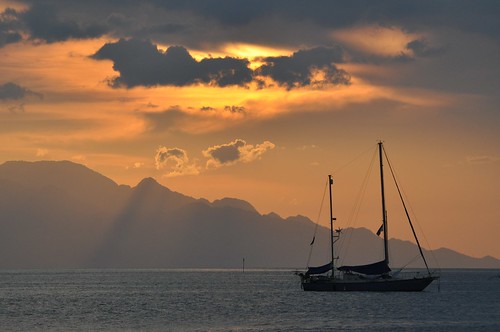
After talking with an owner, I found that Lovina was coming off the end of it's high season. The high season is July and August, when students aren't in school and people are traveling from Europe for the summer. I can't imagine what I'd be like in February or March. I will say that the area has great sunsets.
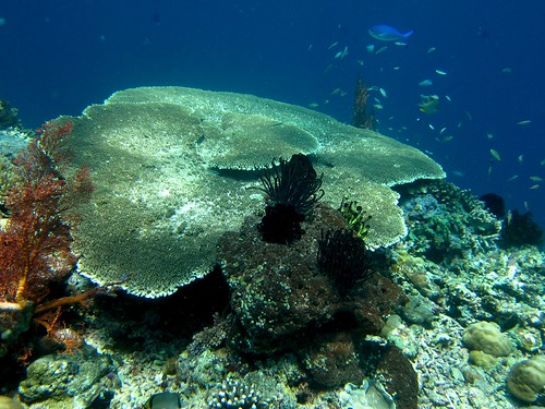
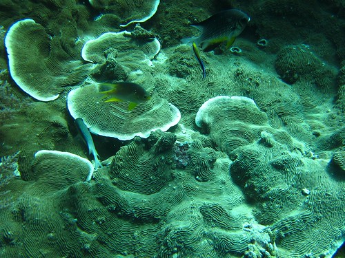
The next day, I dove Pulau Menjangan. This spot just about lived up the hype. The coral was huge and colorful, the fish were everywhere, we saw a ray, a turtle and got some great time underwater in. My only complaint was that the winds had decreased visibility a little, so there was a lot of 'stuff' floating around, hampering me from taking great, clear pictures. All in all it was a great day diving.
I also met a couple from Belgium who were also exploring the island on their motorbike. I got to talking with them and found out that they were using a Garmin to navigate as well. Though I did learn something completely amazing from them about my own Garmin. Before they came, they downloaded some copies of OpenStreetMaps to their device, giving them access to almost all the roads of Bali (and Indonesia for that matter). Freaking genious!
Getting the maps onto your Garmin is super easy too. Just go to the site this guy setup which takes copies of OpenStreetMap tiles and converts them to a format for loading onto your Garmin with Garmin's software. I can't believe I hadn't thought about this before, and am a complete fool for not doing it sooner. Google, I love your map software (online and on the phone), but OpenStreetMap, I love you more now. I definitely plan on contributing all my track logs of my trip back to the OpenStreetMap community when I get back.
I next wanted to dive the area at Tulamben, but no compaines were leaving Lovina for a trip on the following day. I talked with the divemaster and he assured me that if I left before 8am, I'd easily be able to make it to Tulamben before any of the local to Tulamben dive shops made their first dives at 10am. So that was my plan.


